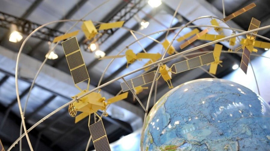
China Completes its Beidou Satellite Navigation Network
Earlier this year China launched the final satellite in its Beidou satellite navigation network.
The completion of China’s Beidou network makes it the fourth network of its kind and capabilities alongside the US Global Positioning System (GPS), Russia’s GLONASS, and the European Union’s Galileo network.
Conceived in the 1990’s with the first and second versions providing coverage for China and Asia-Pacific respectively, the completed network now has global coverage with a total of 35 operational satellites, more satellites than any other network currently operates.
Why is Satellite Navigation Important?
Satellite navigation has an impact on so many aspects of daily life.
Industries like delivery services depend on satellite navigation to connect drivers with destinations, aiding them in navigating to customers and allowing customers to track their progress in real-time. Food delivery alone is a $100+ billion industry worldwide and likely to only grow into the foreseeable future.
We all probably also use satellite navigation ourselves when we travel to the point of almost taking it for granted, whether we are the ones driving or traveling via taxi services.
Then there are also the obvious military applications of satellite navigation, from moving troops across battlefields, guiding ships at sea and sending munitions accurately to target, to tracking the growing fleets of unmanned vehicles moving across land, over sea and in the air.
Because of the essential economic and especially military applications of satellite navigation it is no surprise that the development of these satellite networks has become another key metric of assessing the ongoing great power competition.
The Impact of China’s Beidou Network
The fact alone that China possesses the technology to not only develop navigation satellites but also to launch and operate them to provide global coverage is a key metric of China’s rise as a global power.
Avoiding dependence on another nation’s satellite navigation network is key to both China’s economic independence and preserving its national security. The Beidou network itself can also provide both economic and diplomatic opportunities.
The New York Times had noted in its article, “China’s ‘Belt and Road’ Plan in Pakistan Takes a Military Turn,” that China had extended the use of its Beidou satellite navigation system to Pakistan not only for commercial use but also for military use. The article speculated that China planned to extend this offer to other potential partners across Eurasia as part of its Belt and Road Initiative (BRI).
Of course, the BRI will include a huge transportation component necessitating satellite navigation to track and guide vehicles, trains, boats and aircraft. With China possessing its own satellite navigation network with full global coverage, China will neither depend on other nations like the US or the EU for access to their GPS and Galileo networks nor be vulnerable to efforts by the US and EU to deny China access to such network in order to hamper its growing influence regionally and globally.
Providing Beidou to other nations for military use, as China has done with Pakistan, is also a key diplomatic tool allowing Beijing to gain ground against the US and Europe. By providing such access in conjunction with Beijing’s non-interference foreign policy makes the decision for nations to switch over much easier.
China’s Beidou satellite navigation network is a key milestone for China’s own development and a key building block for its wider, regional and global aspirations through the BRI. It is a sign of not only China’s rise as a global power, but signals the potential for China to close other technological, economic and military gaps the US and Europe have been, until now, confident would never be closed by nations like China and by extension, the nations rising alongside China.